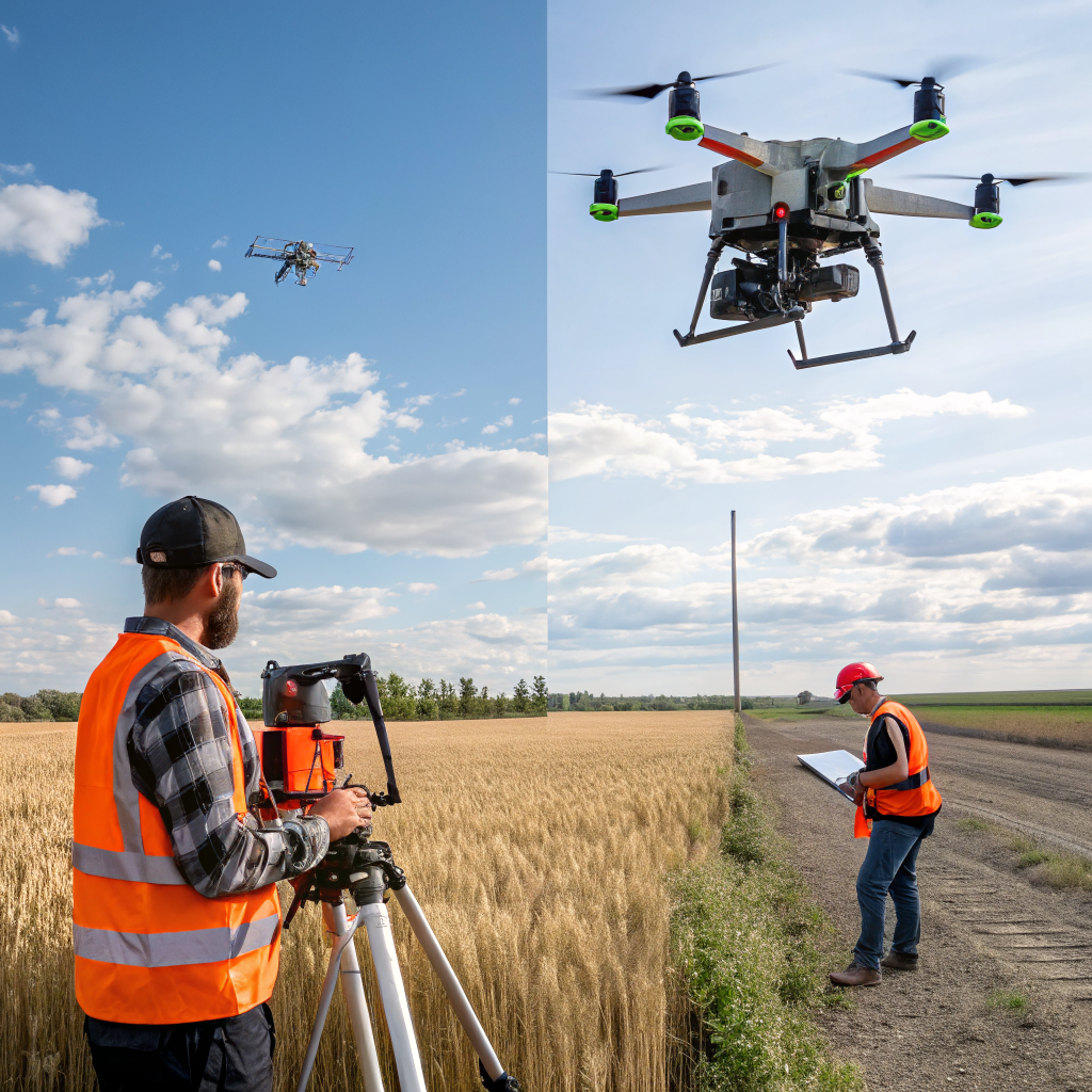
Construction projects thrive on precise site data. Traditional surveying methods can be slow, costly, and disruptive. Drone‑based LiDAR (Light Detection and Ranging) offers a faster, safer, and more accurate alternative. In this post, we explore the benefits of using drone LiDAR for construction site planning and how SkyMetrics delivers results that keep projects on schedule.
Why LiDAR Beats Traditional Surveying
LiDAR works by emitting laser pulses and measuring the time it takes for each pulse to bounce back. The result is a dense point cloud that captures the exact shape of terrain, structures, and vegetation. Compared to ground‑based surveys, drone LiDAR provides:
- Speed: A single flight can cover several acres in minutes, generating millions of data points instantly.
- Safety: Pilots stay clear of hazardous zones while the UAV does the work.
- Detail: Accuracy within a few centimeters, even under dense canopy.
Key Applications on Construction Sites
Topography and Earthwork
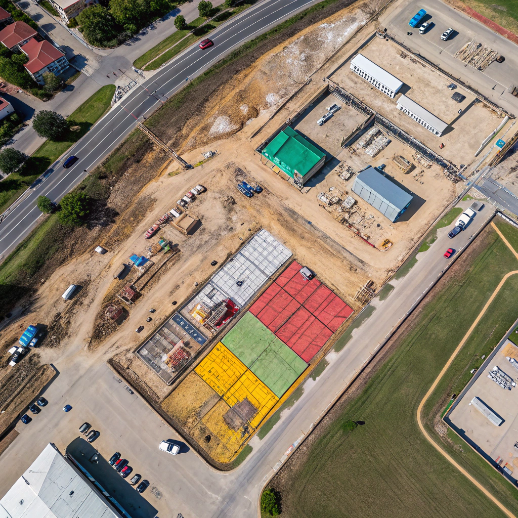
Accurate terrain models help engineers calculate cut‑and‑fill volumes, plan drainage, and design foundations. Drone LiDAR creates a digital terrain model (DTM) that integrates directly into civil‑engineering software.
As‑Built Documentation
When a project reaches a new milestone, a quick LiDAR sweep documents the current state. This as‑built data is essential for progress tracking and for handover to owners.
Obstacle Detection
Identify hidden utilities, boulders, or unstable slopes before they become safety hazards. The high‑resolution point cloud reveals details that are often missed by satellite imagery.
How SkyMetrics Delivers Reliable LiDAR Data
Our process combines cutting‑edge UAVs with certified pilots and rigorous data‑quality protocols:
- Pre‑flight Planning: We map flight paths to achieve 100% coverage and optimal point density.
- Real‑time Monitoring: Ground crews watch the mission live, ensuring compliance with safety zones.
- Post‑Processing: Raw point clouds are cleaned, georeferenced, and delivered in formats ready for Autodesk Civil 3D, Trimble Business Center, or other industry tools.
Real‑World Success Story
One of our construction clients needed a rapid topographic survey for a 30‑acre site. Using a DJI Matrice 300 RTK equipped with a Riegl miniVux‑1 LiDAR sensor, we completed the flight in under an hour. The resulting DTM reduced their earthwork calculations by 12%, saving both time and budget.
Getting Started with Drone LiDAR
Ready to bring the power of LiDAR to your next project? Contact SkyMetrics for a free consultation. We’ll assess your site, recommend the ideal UAV platform, and provide a detailed proposal that aligns with your schedule and budget.
Keywords: drone LiDAR, construction site planning, aerial surveying, point cloud, digital terrain model