Modern agriculture is increasingly data‑driven. Farmers who adopt precision technologies can spot problems before they affect the harvest. One of the most powerful tools is multispectral drone imaging, which captures light beyond the visible spectrum to reveal hidden stress signals in crops. SkyMetrics helps agribusinesses turn those images into actionable insights.
What Is Multispectral Imaging?
Multispectral cameras record several narrow wavelength bands—typically green, red, red‑edge, and near‑infrared (NIR). By analyzing the reflectance patterns across these bands, we calculate vegetation indices such as NDVI (Normalized Difference Vegetation Index) that quantify plant vigor.
Key Benefits for Farmers
- Early Stress Detection: Identify water stress, nutrient deficiencies, or pest pressure before symptoms become visible.
- Variable Rate Application: Target fertilizer, irrigation, or pesticide only where needed, reducing waste.
- Yield Forecasting: Use index trends to predict final output and plan logistics ahead of time.
- Compliance & Reporting: Provide documented evidence of sustainable practices for certifications.
How SkyMetrics Captures and Processes Data
Flight Execution
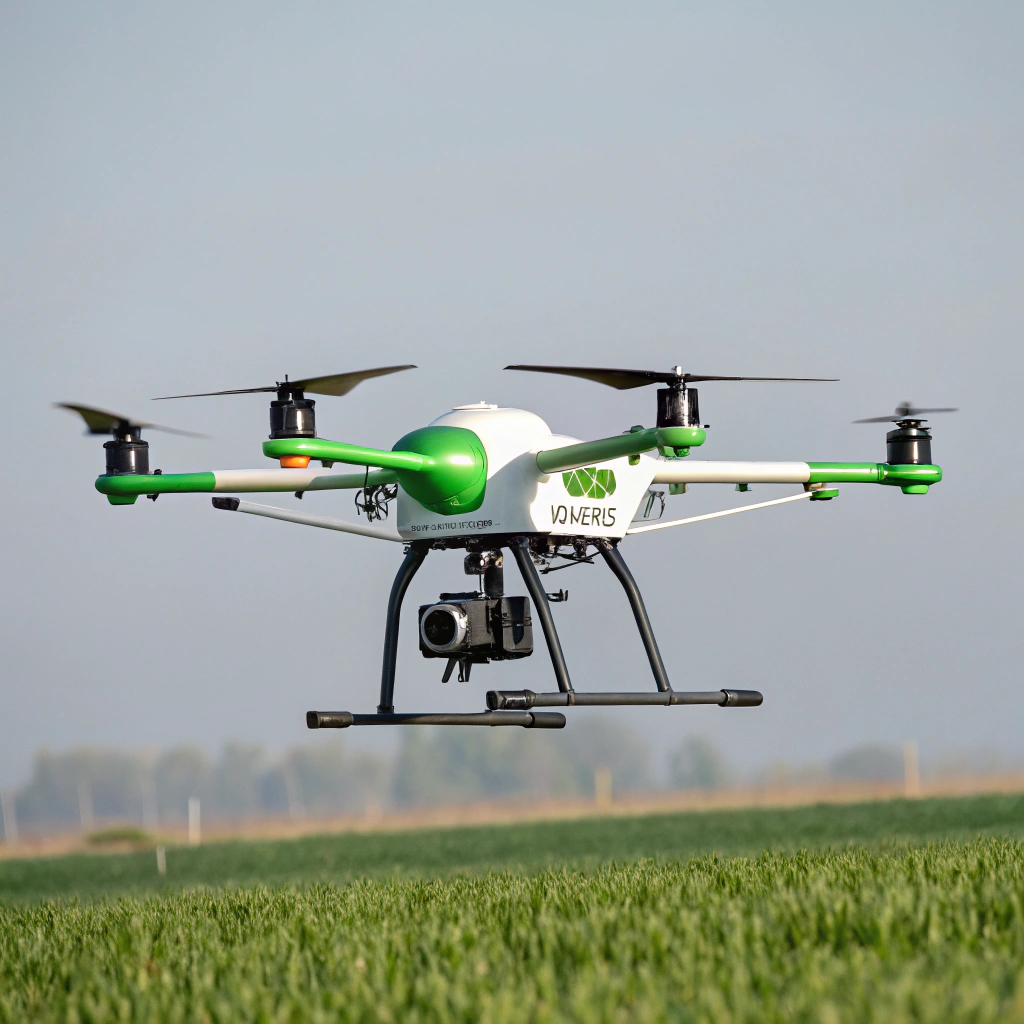
Our pilots fly a DJI Matrice 300 RTK equipped with a MicaSense RedEdge‑3 multispectral sensor. Flight plans are optimized for 5‑cm ground sampling distance (GSD), ensuring crisp data across the entire field.
Data Processing Workflow
After the mission, we perform:
- Radiometric calibration using the sensor’s built‑in calibration panel.
- Georeferencing of each band to create a seamless orthomosaic.
- Generation of NDVI, GNDVI, and other indices.
- Export of results in GIS formats (GeoTIFF, shapefile) for easy integration with Farm Management Software.
Practical Use Cases
Irrigation Management
A vineyard in California used our NDVI maps to pinpoint zones experiencing water stress. By adjusting drip lines only in those zones, the grower reduced water usage by 18% while maintaining fruit quality.
Nutrient Optimization
A corn producer in Iowa applied a variable‑rate nitrogen plan based on red‑edge data, resulting in a 7% yield increase and a 10% reduction in fertilizer costs.
Pest Monitoring
Multispectral imagery highlighted a localized infestation of spider mites in a soybean field. Early treatment prevented a potential 15% loss.
Integrating Drone Insights into Your Workflow
Our deliverables include easy‑to‑use dashboards that visualize index maps alongside historical data. You can overlay them with your existing field boundaries, equipment routes, and agronomic notes.
Take the Next Step Toward Smarter Farming
Ready to see how multispectral drone data can transform your operations? Contact SkyMetrics for a pilot project and discover the ROI of precision agriculture.
Keywords: multispectral drone, NDNDVI, precision agriculture, crop health monitoring, variable rate application