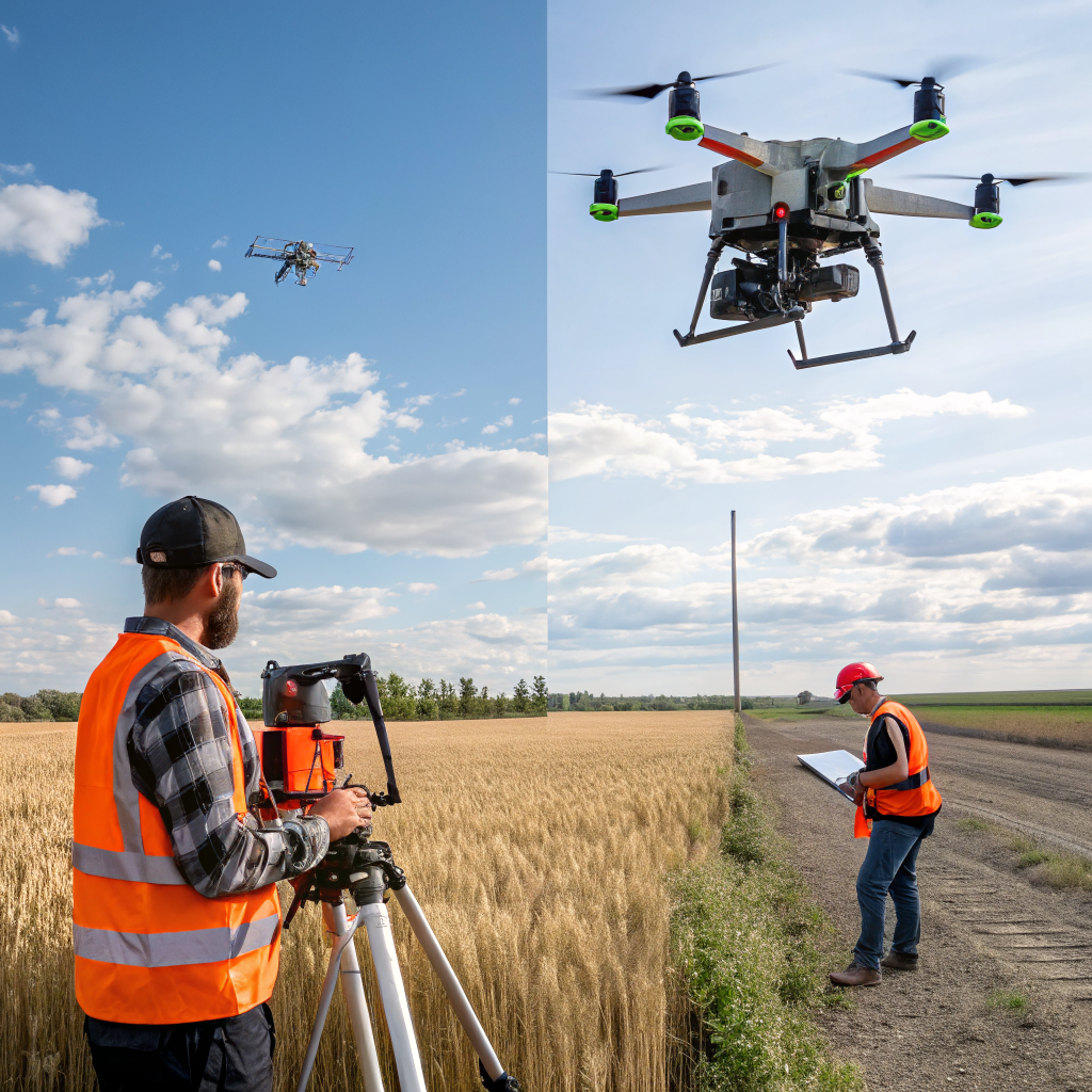
Budget constraints often dictate the choice of surveying method. While traditional ground surveys have been the industry standard for decades, drone technology now offers a compelling alternative. This post breaks down the cost components of each approach and demonstrates how SkyMetrics helps clients achieve measurable savings.
Traditional Surveying: What It Involves
Conventional surveying typically requires:
- Skilled surveyors with total stations, GPS receivers, and field crew.
- Multiple days of field work to cover large or complex sites.
- Logistics for accessing remote or hazardous locations.
- Post‑processing time for data entry and CAD drafting.
Average cost estimates range from $500 to $1,500 per acre, depending on terrain difficulty and required precision.
Drone Surveying: Components of Cost
Drone‑based surveys consist of:
- UAV platform and sensor (e.g., RGB camera, LiDAR). The hardware amortization is spread across many projects.
- Pilot and data‑processing specialist fees.
- Flight planning and permitting (usually a few hours of effort).
- Rapid data delivery—often within 24‑48 hours.
Average cost for a drone survey is $150‑$300 per acre, a reduction of up to 80% compared with traditional methods.
Time Savings
Traditional surveys can take 2–5 days for a 20‑acre site, whereas a drone can capture the same area in under an hour, with processing completed the next day. Faster turnaround accelerates decision‑making and reduces project lag.
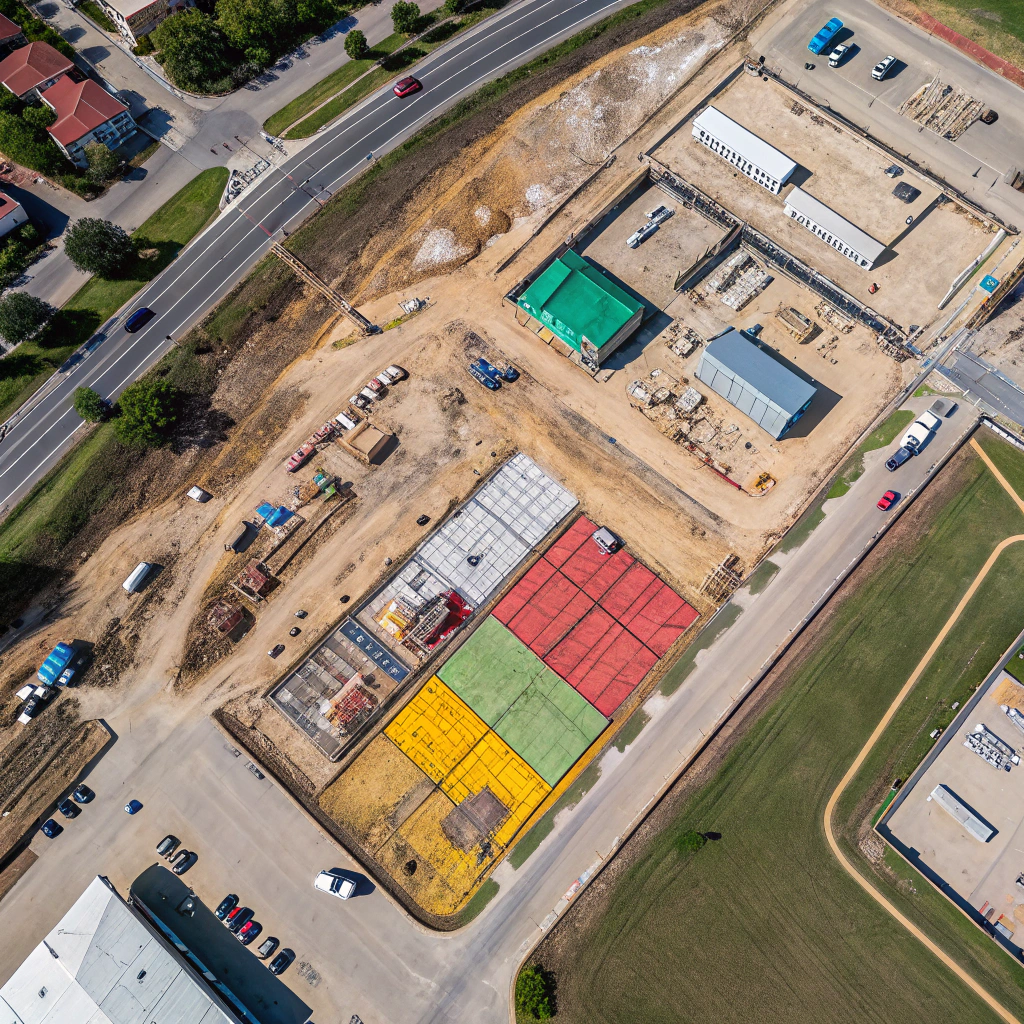
Case Study: Construction Site in Texas
A general contractor required a topographic survey for a 45‑acre site. Using SkyMetrics drone services, the flight and processing were completed in 3 days, at a total cost of $12,000. A traditional survey would have cost roughly $45,000 and taken at least 10 days. The contractor reported a 30% reduction in overall project schedule due to the quicker data availability.
Case Study: Large Farm in the Midwest
A 200‑acre farm needed NDVI mapping for variable‑rate fertilization. Traditional scouting would have required multiple field visits and manual sampling. Our drone survey captured the entire area in 45 minutes, delivering a GIS‑ready NDVI map within 24 hours for $42,000. The farmer saved an estimated $18,000 in fertilizer costs and avoided labor expenses.
Intangible Benefits
- Safety: Reduces the need for personnel to enter hazardous terrain.
- Data Consistency: Uniform data collection across large or repetitive sites.
- Environmental Impact: Less fuel consumption and lower carbon footprint.
Calculating ROI for Your Project
To estimate the return on investment, consider:
- Direct cost difference per acre.
- Time saved and its impact on project schedule.
- Potential cost avoidance (e.g., reduced rework, lower material usage).
For many clients, the combined savings amount to 20‑35% of the total project budget.
Why Choose SkyMetrics?
We provide:
- Experienced pilots with safety certifications.
- State‑of‑the‑art sensors tailored to each project’s needs.
- Rapid data processing pipelines that deliver ready‑to‑use products.
- Transparent pricing and detailed cost breakdowns.
Next Steps
Contact SkyMetrics for a cost‑comparison analysis specific to your site. We’ll develop a survey plan that maximizes savings while maintaining the required accuracy.
Keywords: drone survey cost, ROI drone vs ground survey, construction cost reduction, agricultural mapping savings