The infrastructure sector is poised for a digital transformation, and drones are at the forefront. As UAV technology matures, new capabilities will enable even richer data collection, faster analysis, and deeper integration with asset‑management systems. SkyMetrics is monitoring these trends to help clients stay ahead of the curve.
AI‑Powered Automated Analysis
Machine learning algorithms are being trained to detect cracks, deformations, and vegetation encroachment directly from drone imagery. Future workflows will allow a single flight to produce:
- Automated condition reports with severity scores.
- Predictive maintenance recommendations based on historical trends.
- Prioritized work lists exported to CMMS (Computerized Maintenance Management Systems).
These AI tools reduce the need for manual inspection, freeing engineers to focus on strategic decisions.
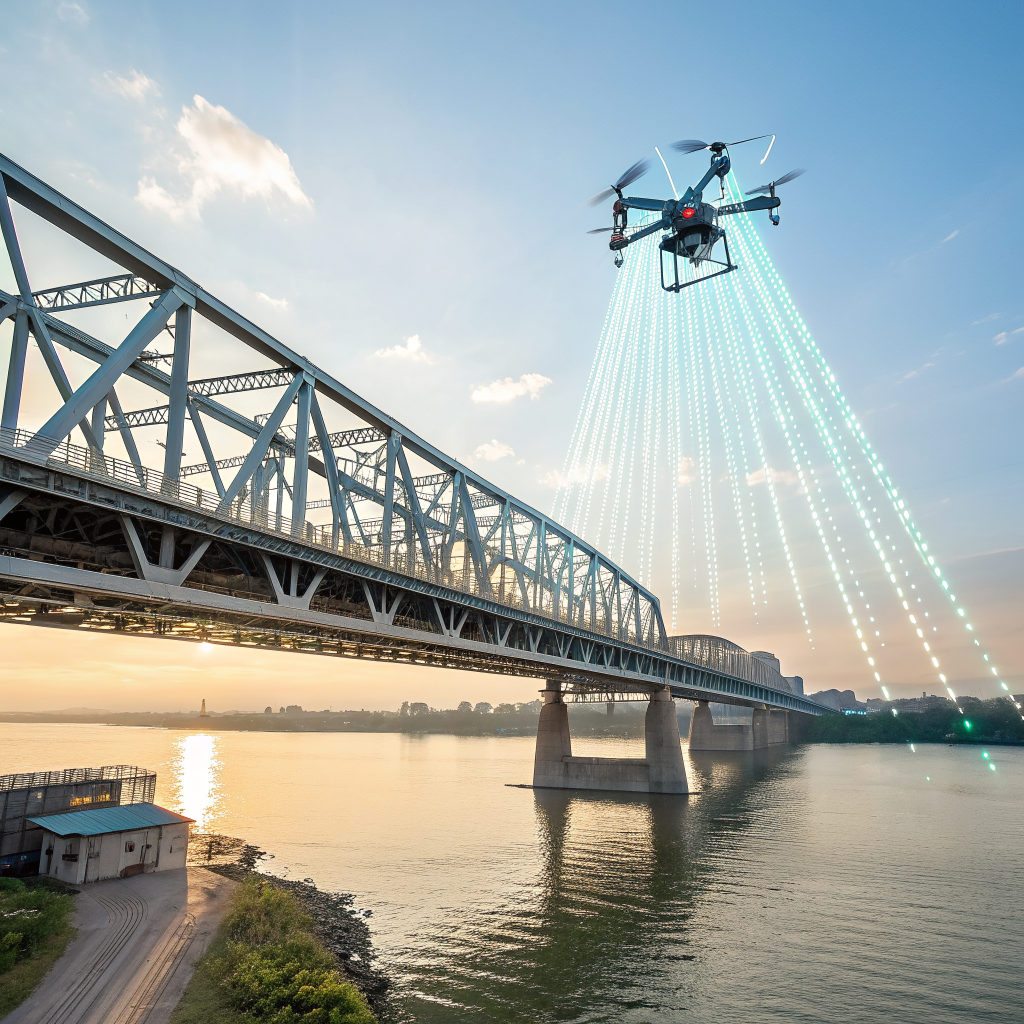
5G Connectivity Enables Real‑Time Data Transfer
High‑bandwidth 5G networks allow drones to stream raw sensor data to cloud platforms in real time. Benefits include:
- Live monitoring of bridge inspections, enabling supervisors to intervene instantly if hazards are detected.
- On‑the‑fly processing where AI models run in the cloud, delivering immediate insights.
- Seamless integration with digital twins, keeping the virtual model synchronized with the physical asset.
Advanced Sensor Suites
Beyond the classic RGB and LiDAR payloads, upcoming sensor technologies will broaden the scope of drone surveys:
- Thermal Imaging: Detecting heat loss in pipelines or underground utilities.
- Hyperspectral Cameras: Identifying material composition and corrosion on steel structures.
- Ground‑Penetrating Radar (GPR) on UAVs: Mapping subsurface features without excavation.
Integration with Digital Twin Platforms
Digital twins are becoming central to infrastructure lifecycle management. Future drone missions will feed directly into twin platforms like Siemens’ Xcelerator or Azure Digital Twins, updating geometry, condition, and sensor data in near real‑time.
Regulatory Evolution and BVLOS Expansion
Regulators worldwide are moving toward broader BVLO S (Beyond Visual Line Of Sight) authorizations, especially for routine infrastructure inspections. This shift will enable drones to autonomously patrol long stretches of highway or rail network, collecting data without constant human oversight.
Implications for Project Stakeholders
- Owners: Faster, data‑driven insights lead to more accurate budgeting and risk mitigation.
- Engineers: AI‑enhanced analytics reduce manual drafting and improve design validation.
- Contractors: Real‑time monitoring shortens response times to field issues.
Preparing Your Organization for the Future
To leverage these emerging capabilities, consider the following steps:
- Invest in data‑management infrastructure that can ingest high‑volume sensor streams.
- Partner with UAV service providers who have AI and 5G experience.
- Standardize data formats and coordinate systems across all digital models.
- Engage with regulators early to understand upcoming BVLOS policies.
SkyMetrics’ Role in the Emerging Landscape
We are already piloting AI‑driven inspection pipelines and testing 5G‑enabled data feeds on select projects. Our team stays abreast of sensor advancements and regulatory updates, ensuring that our clients benefit from the latest innovations without the overhead of in‑house development.
Conclusion
From AI‑assisted analysis to real‑time 5G connectivity, the future of drone data for infrastructure is bright. By embracing these trends early, owners and engineers can improve asset longevity, reduce maintenance costs, and enhance safety. Contact SkyMetrics today to discuss how we can integrate tomorrow’s technology into your current projects.
Keywords: drone AI inspection, 5G UAV, hyperspectral imaging, digital twin integration, infrastructure drone trends