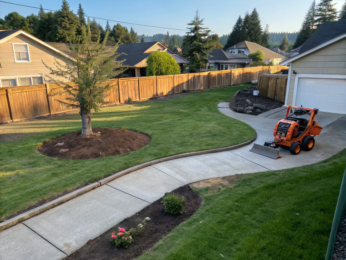
Elevated Site Intelligence
High-resolution LiDAR scans and multispectral data for engineering infrastructure and modern agriculture.
Mission Intelligence
Precision
LiDAR-grade accuracy
Turnaround
Rapid data delivery
Compliance
FAA certified safety
Density
Points per second
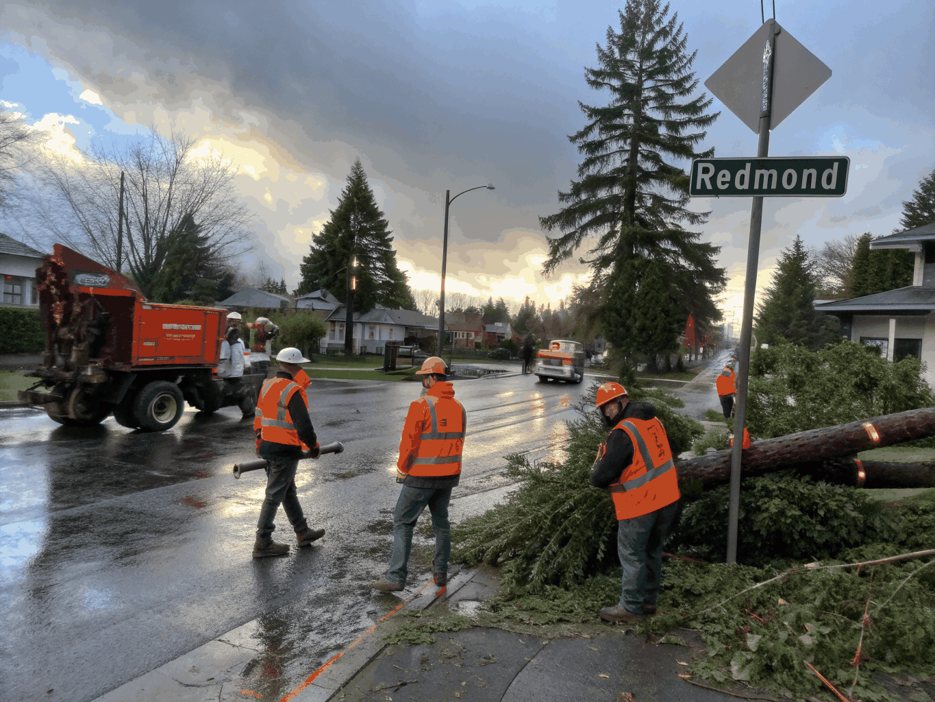
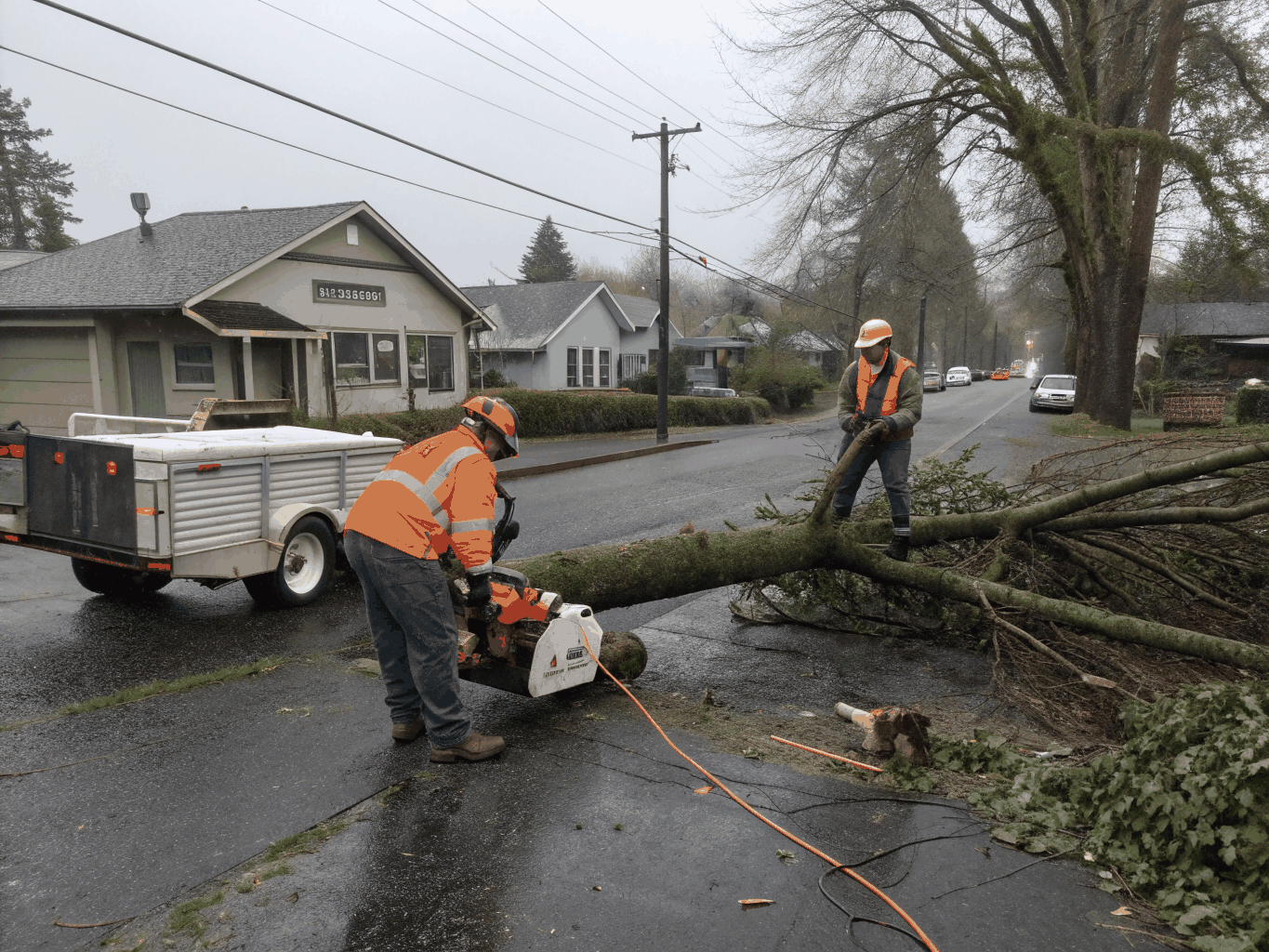
Specialized Aerial Capabilities
Precision data acquisition through advanced sensor payloads and aerospace-grade UAV platforms engineered for high-fidelity intelligence.
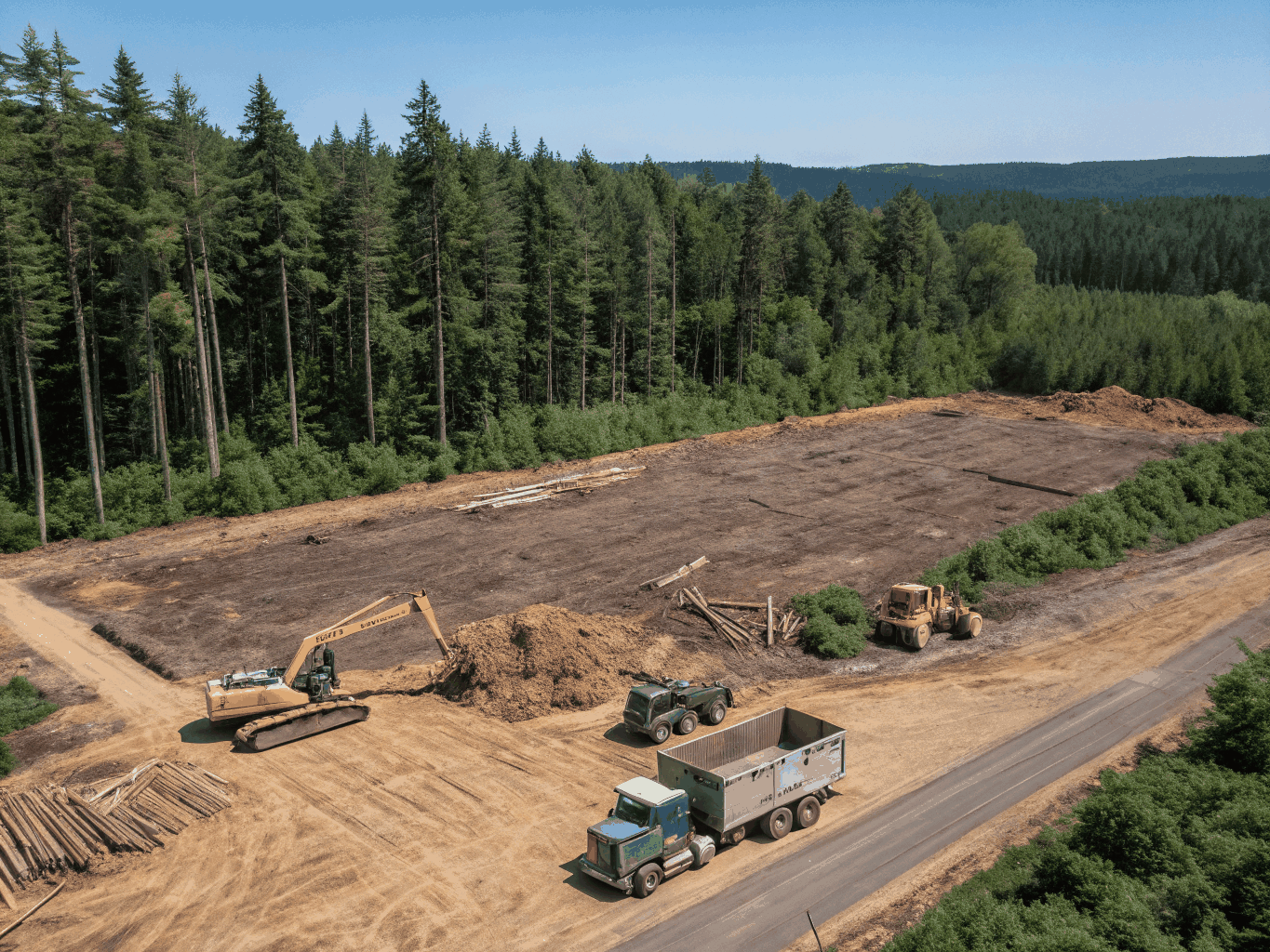
Precision in Motion
High-fidelity aerial intelligence captured with sub-centimeter accuracy for critical infrastructure and landscape analysis.

Mission Protocol
Project Lifecycle
A high-fidelity operational framework ensuring precision data acquisition and regulatory excellence.
Planning
Technical scoping and mission parameters definition for optimal sensor coverage.
Regulatory
Navigating FAA compliance and airspace authorizations for safe, legal operations.
Flight
High-precision UAV deployment for multi-sensor imagery and LiDAR acquisition.
Processing
Advanced point cloud generation and high-fidelity photogrammetric reconstruction.
Delivery
Direct integration of high-resolution datasets into your existing engineering workflows.
Trusted by Global Infrastructure & Agriculture Leaders
Initiate Your Aerial Survey
Deploy SkyMetrics' advanced UAV fleet for your next mission. Our pilots provide high-fidelity intelligence for construction, agriculture, and critical infrastructure.
Mission Capabilities
- Sub-centimeter LiDAR & Multispectral Data
- FAA Part 107 Certified Flight Operations
- Rapid 24-Hour Geospatial Processing
- Seamless BIM & GIS Workflow Integration
"The precision of their point cloud data eliminated weeks of manual surveying on our latest infrastructure project."
Marcus Vane
Lead Site Engineer